Total population
1,835,504
The division’s major agricultural core in the Peshawar Valley: bounded by three rivers (Kabul, Swat, and Jindi), famous for its fertile lands, traditional jaggery (gur) production, and footwear manufacturing. This page summarises district statistics, services, elected representation, and priority development challenges.
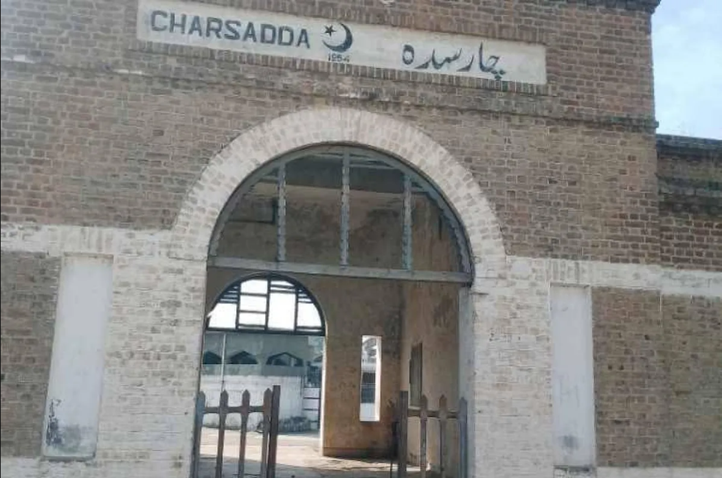
1,835,504
996 km²
3 tehsils · 146 councils · 178 villages
| Indicator | Value |
|---|---|
| Total population | 1,835,504 |
| Tehsils | 03 |
| Councils | 146 |
| Villages | 178 |
| Total area | 996 km² |
| Literacy rate | 53.9% |
| Type | Count |
|---|---|
| Schools | 1,192 |
| Colleges | 14 |
| Facility type | Count |
|---|---|
| DHQ Hospital (Category-A) | 1 |
| THQ Hospitals (Category-C) | 2 |
| Category-D Hospitals | 1 |
| Rural Health Centers (RHCs) | 4 |
| Basic Health Units (BHUs) | 41 |
| Station | Count |
|---|---|
| Batagram | 1 |
| Charsadda | 1 |
| Khanmai | 1 |
| Khwaja Woos | 1 |
| Mandani | 1 |
| Nisatta | 1 |
| Prang | 1 |
| Sardheri | 1 |
| Shabqadar | 1 |
| Sro Kali | 1 |
| Tangi | 1 |
| Tarnab | 1 |
| Umar Zai | 1 |
| Total | 13 |
| Measure | Notes |
|---|---|
| Civil courts | District Court: 1 |
| Member | Constituency | Name (Party) |
|---|---|---|
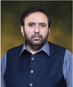 |
NA-24 Charsadda-I | Malik Anwar Taj (IND) |
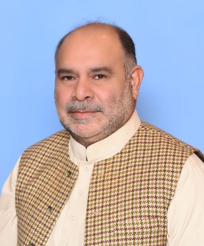 |
NA-25 Charsadda-II | Mr. Fazal Muhammad Khan (IND) |
| Member | Constituency | Name (Party) |
|---|---|---|
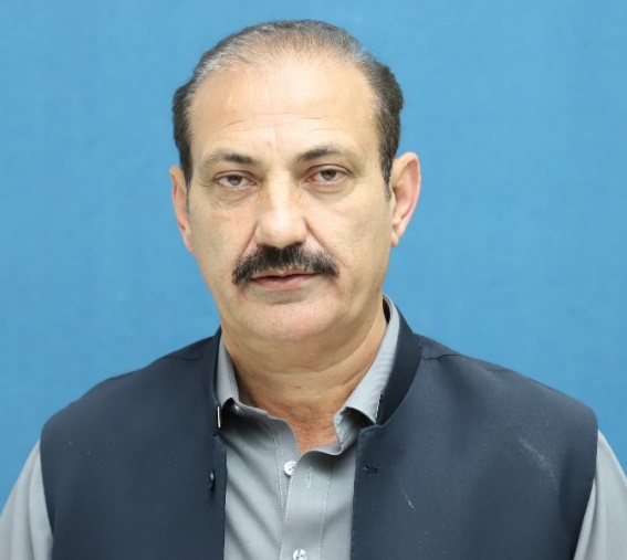 |
PK-62 Charsadda-I | Khalid Khan (IND) |
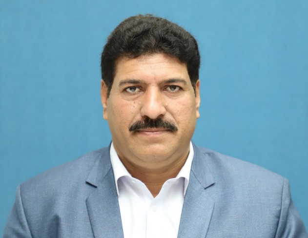 |
PK-63 Charsadda-II | Arshad Ali (IND) |
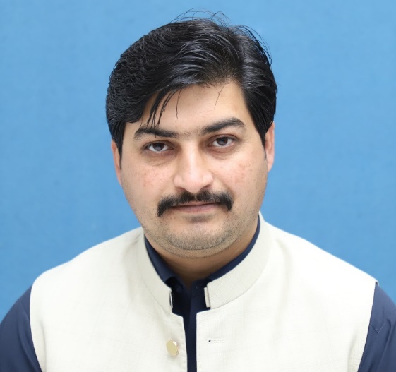 |
PK-64 Charsadda-III | Iftikhar Ullah Jan (IND) |
 |
PK-65 Charsadda-IV | Fazal Shakoor Khan (IND) |
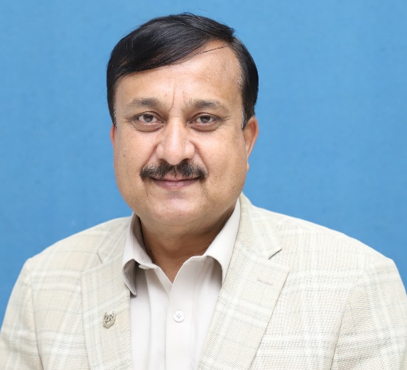 |
PK-66 Charsadda-V | Muhammad Arif (IND) |
The district operates under a severe regional healthcare deficit relative to the WHO minimum standard threshold of 1.11 doctors per 1,000 people, forcing critical trauma loads onto Peshawar due to an overstressed localized capacity sitting at a baseline of just 0.63 hospital beds per 1,000 people.
School availability gaps across Charsadda's 3 tehsils create a severe secondary drop-off, keeping the overall district literacy rate bound to an inadequate 53.9% and leaving 24.13% of boys and 34.56% of girls completely out of school.
Job insecurity remains critical for qualified graduates as the district-wise unemployment rate sits at a staggering 10.2%, with a massive youth bottleneck (25.0% of male youth and 26.6% of female youth) caused by a total lack of localized corporate diversification.
Rapid, unplanned expansion across the district has heavily compromised surface aquifers with agricultural runoff and chemical contamination, leaving 4.31% of rural households and 0.7% of urban households without safe drinking water and prompting widespread public health water vulnerabilities.
Millions of gallons of untreated domestic sewage and municipal solid waste flow directly into the Kabul, Neelum and Swat river basins. Intense climate-driven flooding subjects 87.7% of surveyed rural households to severe health risks. Urban extension has also dropped fertile land coverage from 68.5% to 57%.
Charsadda's decaying road and bridge networks are frequently destroyed by seasonal river floods, severely isolating rural farming communities and cutting off trade routes. Weak municipal drainage systems allow untreated industrial waste from marble factories to overflow directly into irrigation canals, destroying local soil and polluting drinking supplies.