Total population
1,740,705
District Nowshera is a vital geostrategic, industrial, and military hub situated within the Peshawar Valley along the banks of the Indus and Kabul rivers. Carved out as an independent district from Peshawar, Nowshera connects central Khyber Pakhtunkhwa to the national logistics corridor via the Grand Trunk Road (N-5) and M-1 Motorway. The district balances three major economic zones, dense cantonments (Risalpur, Nowshera, and Cherat), and a highly fertile riverine agricultural belt.
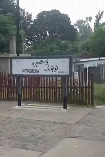
1,740,705
1,748 km²
3 tehsils · 153 councils · 153 villages
| Indicator | Value |
|---|---|
| Total population | 1,740,705 |
| Tehsils | 03 |
| Councils | 153 |
| Villages | 153 |
| Total area | 1,748 km² |
| Literacy rate | 56.78% |
| Type | Count |
|---|---|
| Schools | 549 |
| Colleges | 13 |
| Facility type | Count |
|---|---|
| DHQ Hospitals | 1 |
| THQ & Category-D Hospitals | 4 |
| Rural Health Centers (RHCs) | 7 |
| Station | Count |
|---|---|
| Akbar Pura | 1 |
| Akora | 1 |
| Aza Khel | 1 |
| Cantt | 1 |
| Jalozai | 1 |
| Kala | 1 |
| Misri Banda | 1 |
| Nizam Poor | 1 |
| Pabbi | 1 |
| RisalPur | 1 |
| Total | 10 |
| Measure | Notes |
|---|---|
| Civil courts | District Court: 1 |
| Member | Constituency | Name (Party) |
|---|---|---|
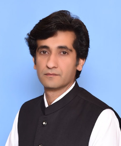 |
NA-33 Nowshera-I | Syed Shah Ahad Ali Shah (IND) |
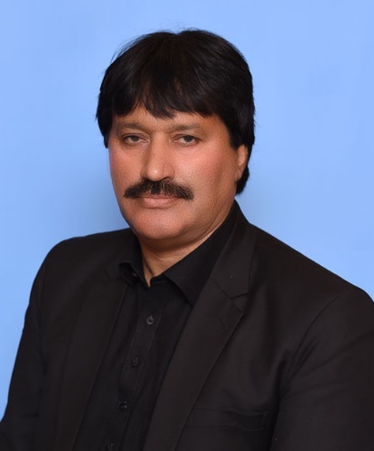 |
NA-34 Nowshera-II | Zulfiqar Ali (IND) |
| Member | Constituency | Name (Party) |
|---|---|---|
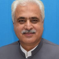
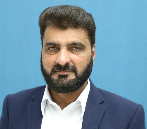 |
PK-85 Nowshera-I | Zar Alam Khan (IND) |
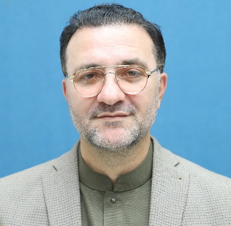
 |
PK-86 Nowshera-II | Muhammad Idrees (IND) |
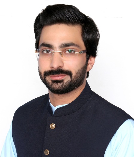
 |
PK-87 Nowshera-III | Khaliq-ur-Rehman (IND) |
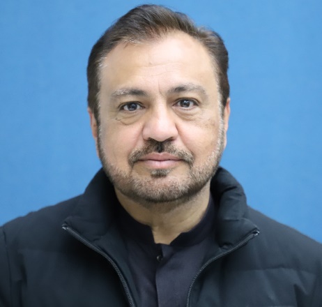
 |
PK-88 Nowshera-IV | Mian Muhammad Umar (IND) |
 |
PK-89 Nowshera-V | Ishfaq Ahmed (IND) |
Severe shortages and a low baseline of 0.68 beds per 1,000 people overstress local clinics, forcing critical trauma loads onto Peshawar. Peripheral regions like Nizampur fall far below the WHO standard threshold due to centralized medical deficits.
An 88.3% structural drop-off from primary to middle schools locks the overall district literacy rate at a low 56.78%. This physical supply barrier drives a stark gender gap that reduces female literacy to 56.49% and leaves rural girls out of school.
A high 10.2% unemployment rate creates a major youth bottleneck affecting 25.0% of young males and 26.6% of young females. The lack of localized corporate diversity leaves thousands of technically trained graduates without viable entry-level jobs.
Unplanned expansion and heavy agricultural and industrial contamination have heavily compromised surface aquifers across urbanizing hubs. This clean water deficit leaves 4.31% of rural and 0.7% of urban households without safe drinking water, raising health risks.
Untreated municipal sewage and toxic industrial waste pour into the Kabul and Indus rivers, exposing 87.7% of rural households to flood-driven health risks. Rapid urban sprawl has also accelerated this eco-crisis, shrinking premium fertile land coverage from 68.5% down to 57%.
Decaying road and bridge networks are frequently destroyed by seasonal river floods, isolating rural farming communities from central KP trade routes. Weak drainage also allows hazardous marble and chemical factory waste to overflow into irrigation canals, ruining soil and drinking supplies.